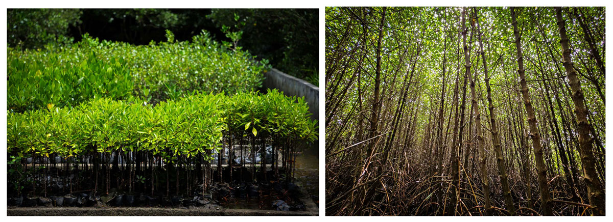
 Department of Environment and Natural Resources (DENR) Secretary Maria Antonia Yulo Loyzaga has signed DENR Memorandum Order (DMO) 2024-01 for the immediate assessment of Abandoned, Undeveloped, and Underutilized (AUU) areas for fishpond purposes, beginning in Regions V, VI, and IX. The undertaking, which involves data-sharing between the DENR Offices and the Bureau of Fisheries and Aquatic Resources of the Department of Agriculture (DA-BFAR), aims to restore mangroves, vital in the defence against flooding and extreme weather events, and in improving climate actions.
Covering fishpond areas released by the DENR to the DA-BFAR in the 1970s, the Order, dated February 26, 2024, is in accordance with Presidential Directive No. 2023-296 on the Review of Areas with Fishpond Lease Agreements (FLA) that are Abandoned, Unused, and Underdeveloped.
The Order seeks recommendations for administrative reversion–returning from DA-BFAR to the DENR the administrative control over AUU fishpond areas under Fishpond Lease Agreements—and biophysical reversion, which involves the process of putting back damaged components of the mangrove forest from fishpond to mangrove state through methods such as replanting, enrichment planting and assisted regeneration.
Recommendations will come from the National Technical Working Group (NTWG) under Special Order No. 2021-274 to be submitted to the DENR Secretary.
According to the DMO, the DENR Regional Offices of the three selected regions will implement the Order through the DENR Regional Field Assessment Teams, composed of personnel from their respective Conservation and Development Division, Survey and Mapping Division License, Patents and Deeds Division, Provincial Environment and Natural Resources (PENR) Office or Implementing PENR Office, and the Community Environment and Natural Resources Office.
The said team will gather relevant data such as topographic maps, fishpond maps, and mangrove maps from the DENR-National Mapping Resources Information Authority, Fishpond Suitability for Mangrove Rehabilitation, and Vulnerable Areas to Sea Level Rise and flooding maps from DENR-Geospatial Database Office, and DA-BFAR data on issued FLAs that are active, cancelled, expired, terminated and AUU, among many others.
The assessment will also constitute data consolidation, deskwork validations, and desktop mapping, where the team will collect and harmonize maps and data and determine if FLAs complied with the Presidential Decree (PD) No. 1067 or The Water Code of the Philippines and PD No. 1586 or the Philippine Environmental Impact Statement System.
Furthermore, the team will conduct ground truthing and validation to assess the identified areas’ status and existing land use, including determining the area profile and biophysical status. The team may request assistance from the Philippine National Police and the concerned Local Government Unit (LGU).
After the validations, the team will analyze the gathered data, maps, and ground validation results to prepare the report to the Regional TWG (RTWG). The team will administer consultations with concerned civil society organizations, academic institutions, and LGUs.
Based on the findings, the RTWG will then recommend areas for administrative and biophysical reversion based on a pre-identified set of criteria and endorse them to the National TWG, who will then review and submit to the Secretary for final approval.#


